
Sailing in Greenland on board the sailing vessel Atlas presented new navigational challenges for us, including the ever-changing sea ice situation, and areas of coastline that are uncharted. Information about the sea ice in Greenland waters can be obtained through various charts created by Danish Meteorological Institute, and for navigation in uncharted waters, satellite images can provide a lot of useful information. In both cases, accessing this data while in remote areas with limited internet access via the Iridium satellite network can be a challenge. This motivated us to write a web service to gather the data we were interested in, compress it, and save it at a fixed location where we could easily download it.
As we know that other sailors in remote areas face similar challenges, we decided to write up a more detailed description of what we did and how it helped us to navigate in Greenland into an article, entitled “Finding Our Way in Greenland with an ice chart web service and up-to-date satellite imagery”.
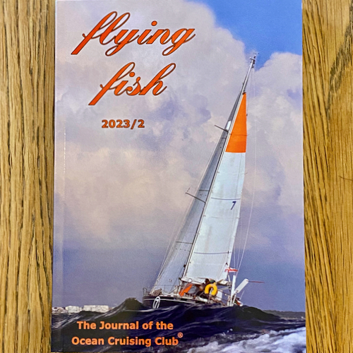
We recently joined the Ocean Cruising Club, so we submitted the article to their annual journal, the Flying Fish. Our article has just been published in the latest issue.
Click here to download and read our article.
Whether you are a member of the Ocean Cruising Club or not, all issues and articles are made freely available online. The full archive of the Flying Fish, which contains some cracking articles, can be found here: